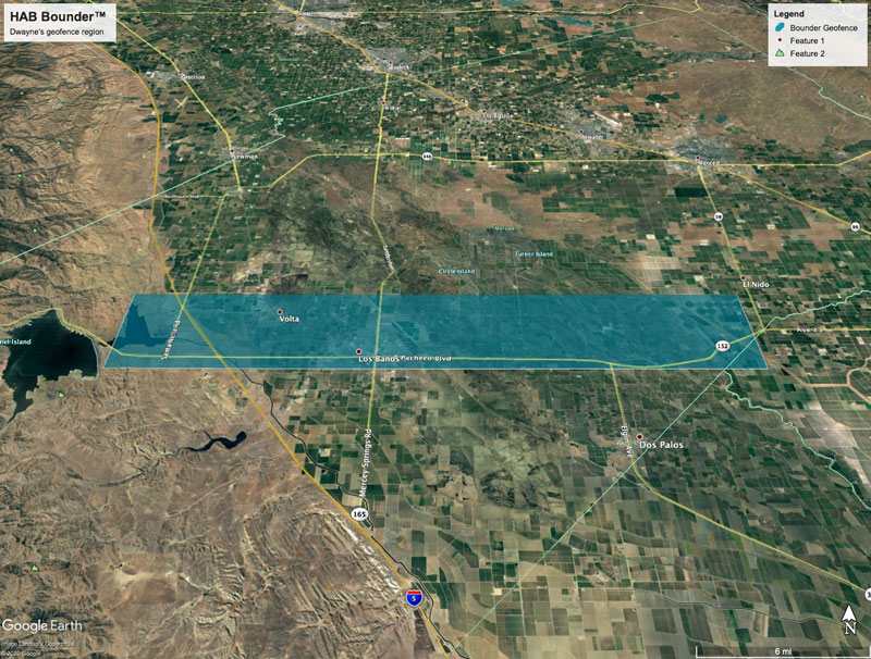
Dwayne Kellum is an amateur balloonist who successfully used the geofence feature of the HAB Bounder on a latex weather balloon flight earlier this year—a geofenced balloon flight. This flight, part of a series of high-altitude experiments that he and his kids are carrying out. It was aimed at testing rocket thrust at altitudes above 30 km (100,000 feet).
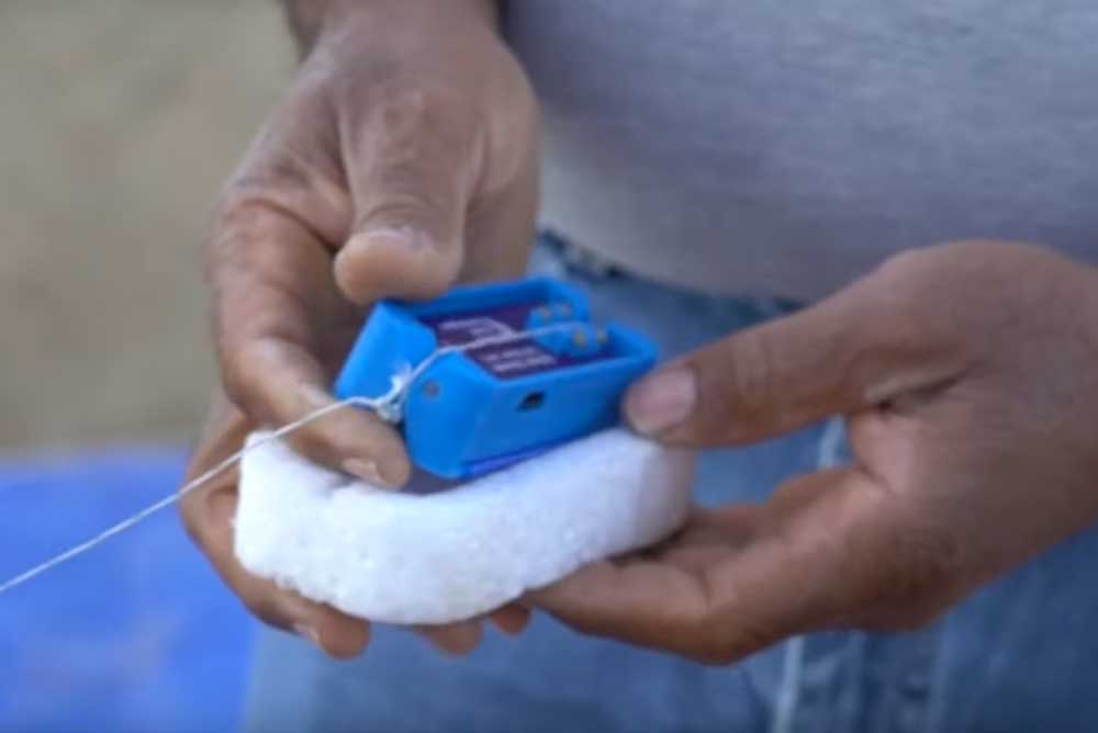
He configured HAB Bounder’s geofence, programmable GPS-based boundary, to a designated safe area of travel. If the balloon flies off course and goes outside of this virtual region, which this flight of his did, HAB Bounder automatically terminates the flight. Dwayne said this setting worked perfectly and allowed the payload to land safely and in a location that made recovery possible.
HAB Bounder – Geofenced Balloon Flight
To achieve this, use geofence Mode 1 (Stay Inside and Below) on firmware version 13 and above:
[GF1=1], GeoFence Trigger #1
   [Gx1=-121.06456], Lon Min (-180 to 180)
   [GX1=-120.50343], Lon Max
   [Gy1=37.12041], Lat Min (-90 to 90)
   [GY1=37.04607], Lat Max
   [GZ1=36000], Altitude (1 to 50000 m)
Or use the GEO command on firmware versions 12 and below:
[GEO=1], GPS GeoFence Trigger (1=Enabled)
   [GX1=-121.06456], GPS Lon Min (-180 to 180)
   [GX2=-120.50343], GPS Lon Max
   [GY1=37.12041], GPS Lat Min (-90 to 90)
   [GY2=37.04607], GPS Lat Max
HAB Bounder Max Altitude
He also programmed the HAB Bounder to release the payload at 36 km (118,110 feet). This was the planned max flight ceiling, below the expected balloon burst altitude, and 3 km (10,000 feet) above the rocket thrust experiment altitude.
To do this on firmware version 13 and above, set one of the HAB Bounder’s two geofences into Mode 1—Stay Inside and Below (same example as above). The z-axis component of this command, see below, configures the altitude setting.
[GF1=1], GeoFence Trigger #1
   [Gx1=-121.06456], Lon Min (-180 to 180)
   [GX1=-120.50343], Lon Max
   [Gy1=37.12041], Lat Min (-90 to 90)
   [GY1=37.04607], Lat Max
   [GZ1=36000], Altitude (1 to 50000 m)
On firmware version 12 and below there was only a single geofence command that did not include an altitude component. Instead use the GPS Altitude Trigger command to limit the max altitude:
[GAT=36000], GPS Altitude Trigger (1 to 50000 m)
See his experience here https://youtu.be/YM63k4_tllA.